ARCHITECTURE: Jan Gehl
 Jan Gehl (17/9/1936- ) is a Danish architect and urban design consultant based in Copenhagen, whose career has focused on improving the quality of urban life by re-orienting city design towards the pedestrian and cyclist. Public space should be a place for everyone that includes unique qualities and benefits of a particular urban environment, open to a variety of activities and opportunities.
By Efi Michalarou
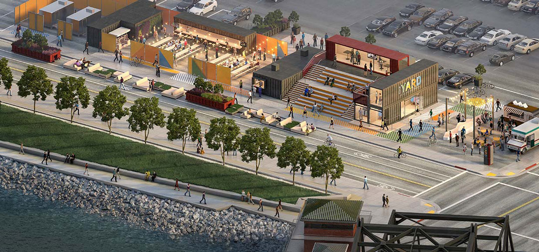
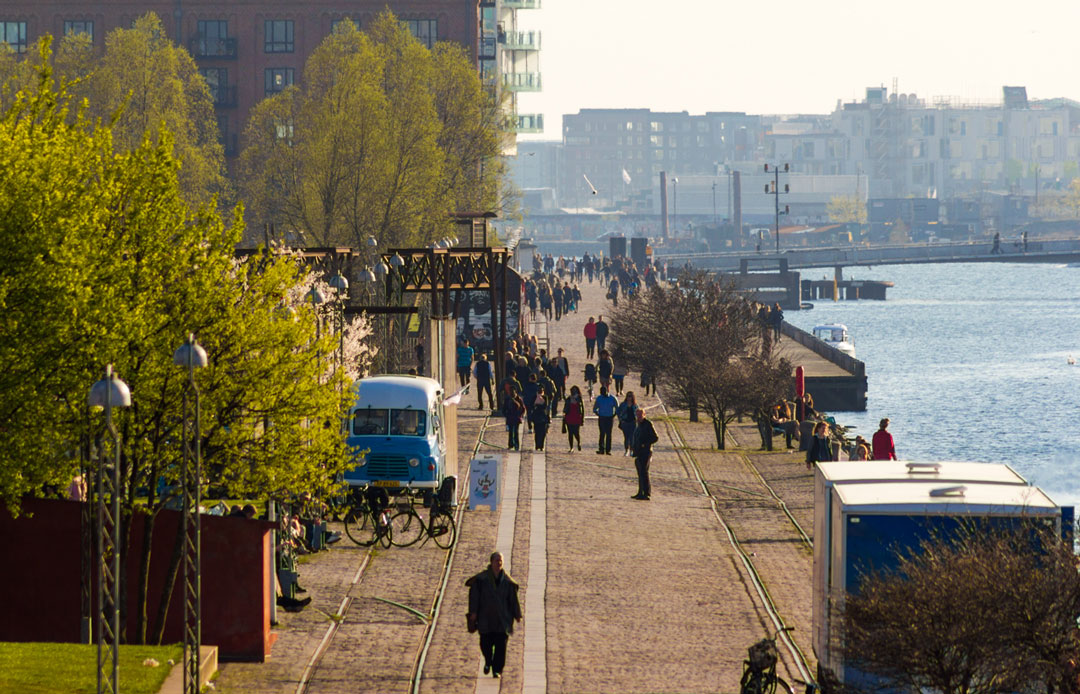
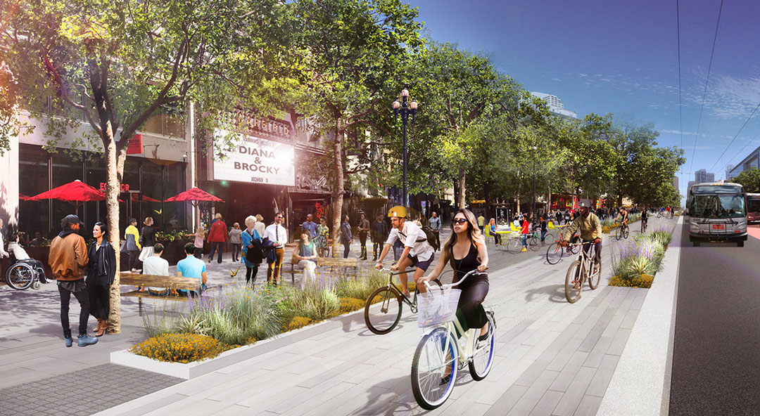
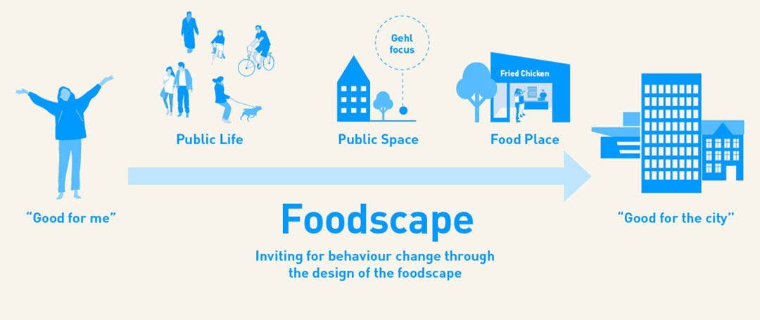
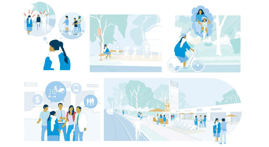
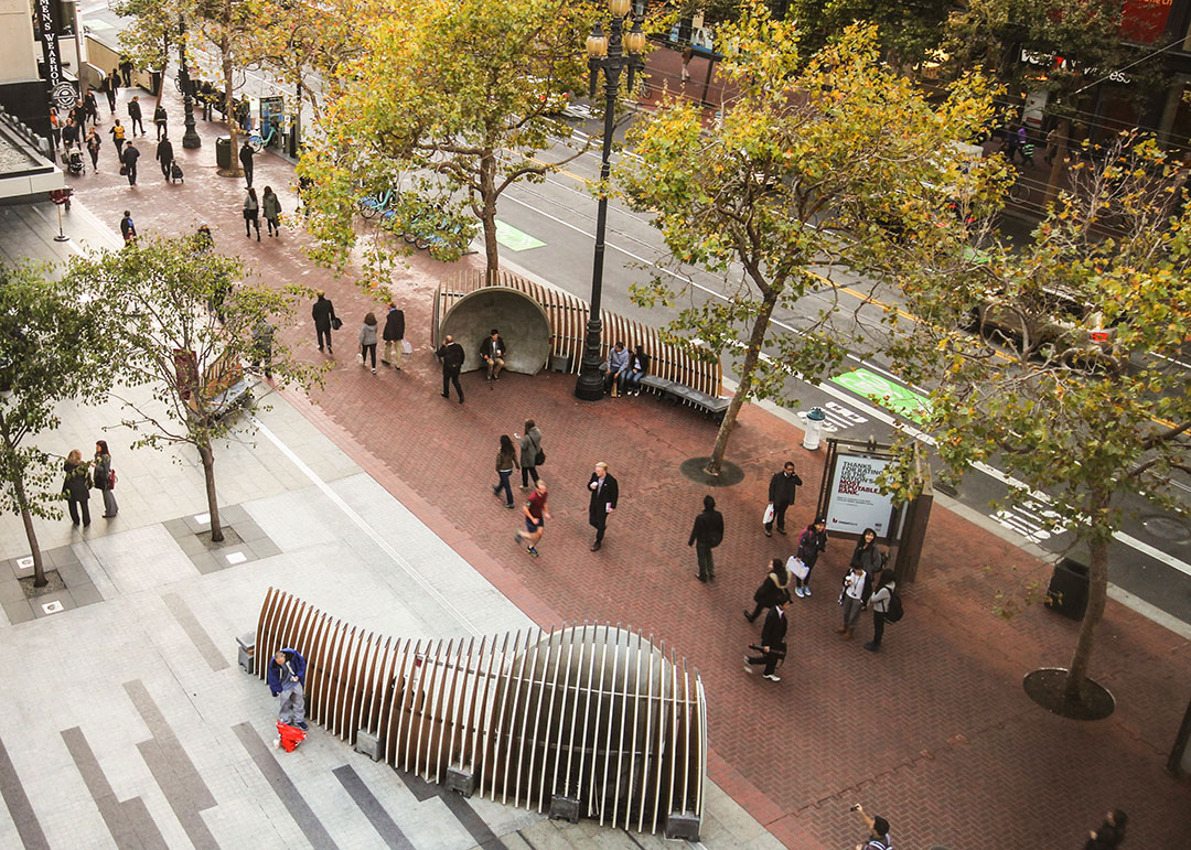
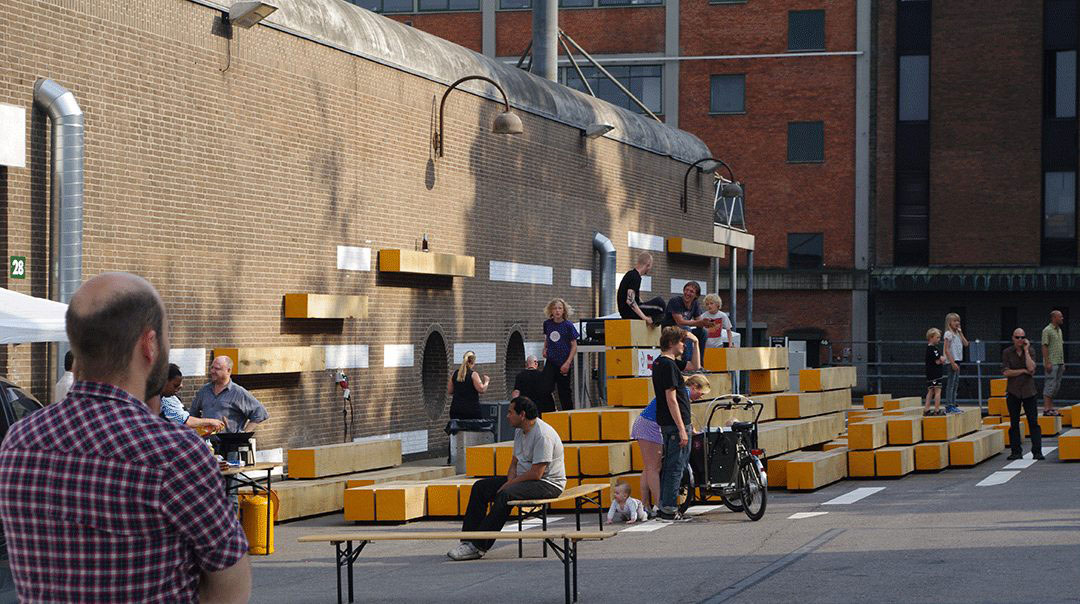
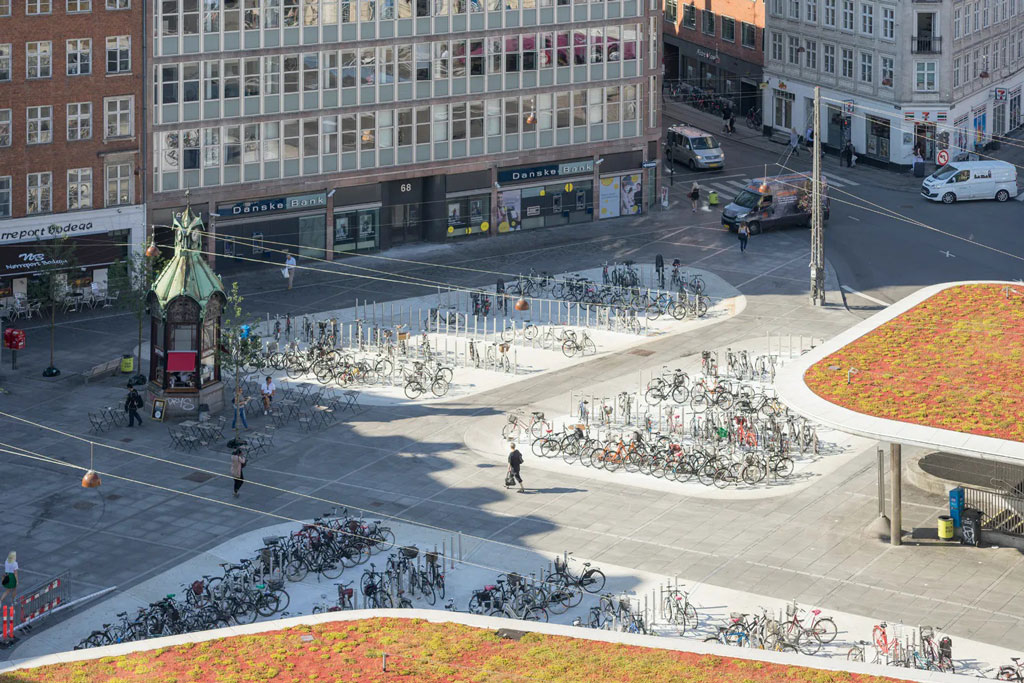
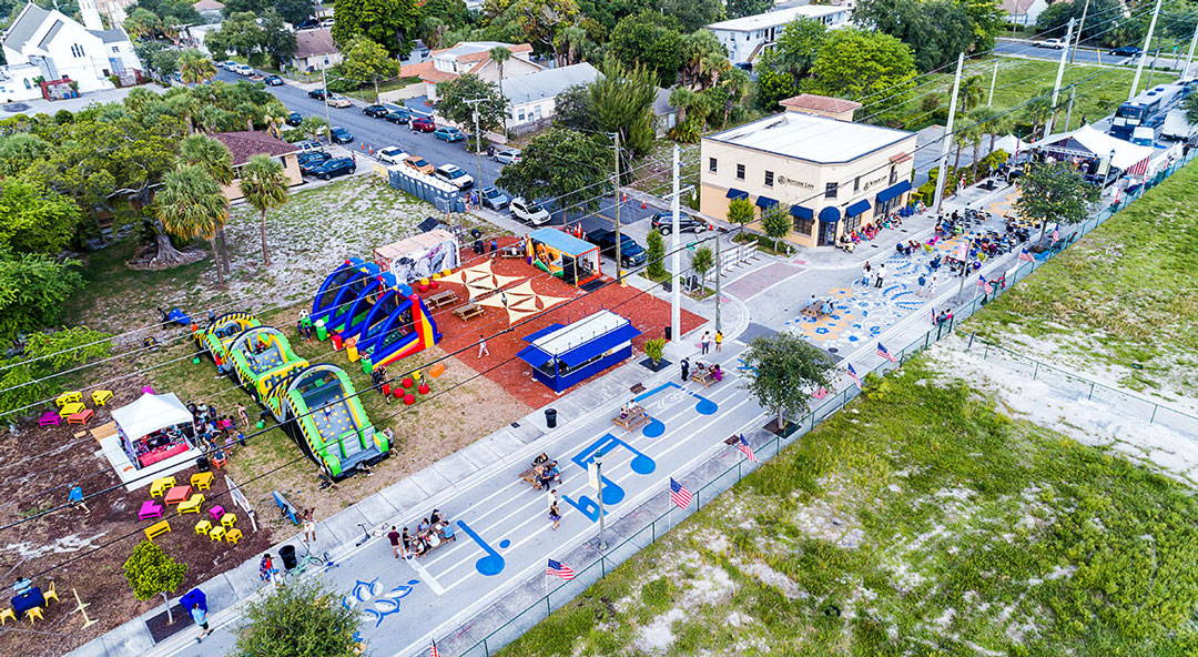
 Jan Gehl received a Masters of Architecture from the School of Architecture at the Royal Danish Academy of Fine Arts (KADK) in Copenhagen in 1960, and practiced architecture from 1960 to 1966. In 1966 he received a research grant from KADK to study “the form and use of public spaces”; his book “Life between Buildings” (1971) reports his studies of public life in public spaces, and develops his theories about how city planning and architecture influence public life. Gehl’s book “Public Spaces, Public Life” describes how such incremental improvements have transformed Copenhagen from a car-dominated city to a pedestrian-oriented city over 40 years. Copenhagen’s Strøget carfree zone, one of the longest pedestrian shopping areas in Europe, is primarily the result of Gehl’s work. He became a professor of urban planning at KADK, and a Visiting Professor around the world. He co-founded Gehl Architects in 2000 with Helle Søholt, held a Partner position until 2011, and remains a Senior Advisor. The unique methodology of Jan Gehl is based on the principle that people are the most important priority of public space in the process of planning cities. SPACE: The area is being designed and developed based on the vision of public life, in order to facilitate and encourage the desired activity. Space can be planned according to the parameters of the desired route, destination, user groups and activities as part of a vision. The space should be designed to create new values and to make best use of the existing ones. Our solution starts with the formulation of the vision and the comprehensive program of activities based on the type of life activities and attractions that are inherent in this area. The next step is to develop a network of public spaces that can support the vision of public life through the conditions, form and climate. REVERSE THE PROCESS: The main idea is that the use of public space is a key factor in the quality of life in urban areas. The usual methodology of planning, which focuses on traffic and buildings, must be turned back so that people and users become more visible in the planning process. In most cases, the beginning of the creation is a vision of beautiful objects, which creates the “overshadowing factor”, around which is free space. There remains hope that the rest of the space will come to life. This approach leaves to chance the most important aspects that make the city dynamic, safe and attractive. By applying the Gehl methodology, we will work to establish a different path of thinking: humans first, then the environment tailored to their needs. PEOPLE: The basis of planning has to be a vision of public life in the given area. Who are its potential users? What activities would take place in it? What kind of life can develop there? COUNTING: Counting is a widely used tool in public life studies. In principle, everything can be counted, which provides numbers for making comparisons before and after, between different geographic areas or over time. MAPPING: Activities, people, places for staying and much more can be plotted in, that is, drawn as symbols on a plan of an area being studied to mark the number and type of activities and where they take place. This is also called behavioral mapping. TRACING: People’s movements inside or crossing a limited space can be drawn as lines of movements on a plan of the area being studied. TRACKING: In order to observe people’s movements over a large area or for a longer time, observers can discreetly follow people without their knowing it or follow someone who knows and agrees to be followed and observed. This is also called shadowing. LOOKING FOR TRACES: Human activity often leaves traces such as litter in the streets, dirt patches on grass etc, which provides the observer with information about the city life. These traces can be registered through counting, photographing or mapping. PHOTOGRAPHING: Photographing is an essential part of public life studies to document situations where urban life and form either interact or fail to interact after initiatives have been taken. KEEPING A DIARY: Keeping a diary can register details and nuances about the interaction between public life and space, noting observations that can later be categorized and/or quantified. TEST WALKS: Taking a walk while observing the surrounding life can be more or less systematic, but the aim is that the observer has a chance to notice problems and potentials for city life on a given route.